How GPS Determines Your Location
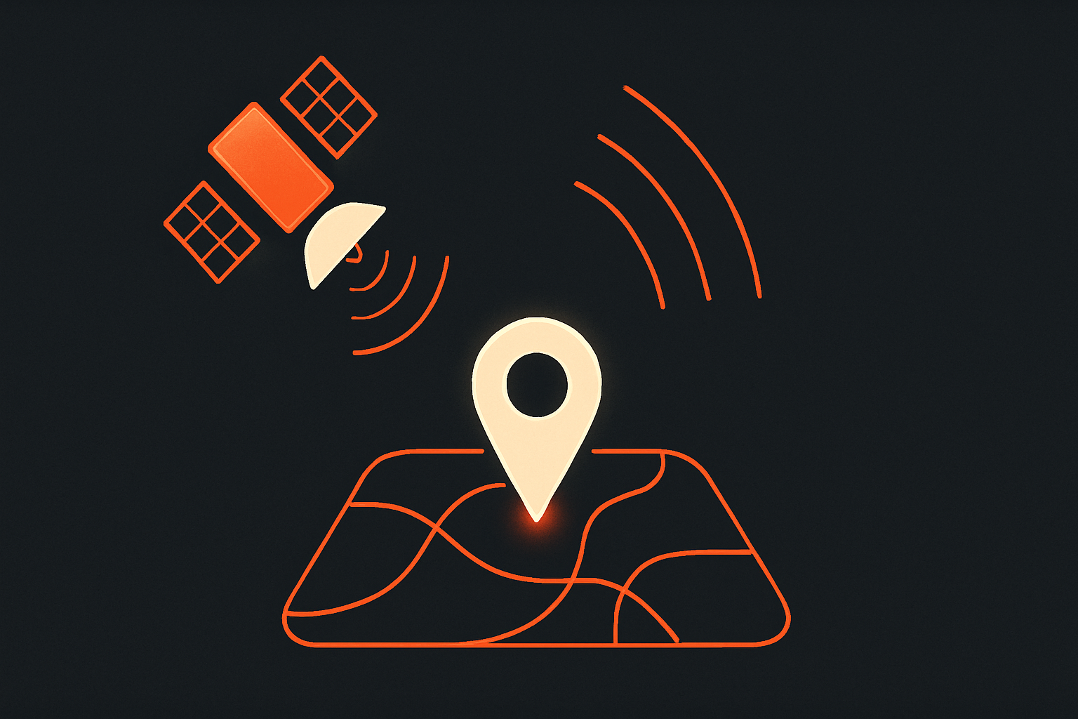
GPS figures out your location by using signals from multiple satellites that tell your device how far away they are, allowing it to pinpoint your exact position.
Featured in the Saturday, August 22 edition →
It's often said that GPS needs mobile data or Wi-Fi to work — in fact, a device can receive GPS signals without an internet connection, though it may need downloaded maps or other connections to show useful details quickly.
GPS is crucial for navigation, helping everything from driving directions to emergency services find you quickly and accurately anywhere on Earth.
It's like if you heard several friends shout their distance from you, and by knowing how far each one is, you could figure out exactly where you are standing.
Location sharing shapes everyday choices, from finding a pickup spot to deciding what apps can track. Understanding how GPS works makes it easier to use navigation tools wisely and know when they may be less reliable.
Suppose you are hiking with a phone that has a map saved but no cell service. The phone receives signals from satellites, compares their send times with its own arrival times, and uses those delays to calculate a position before placing the dot on the saved map. If the signals become unclear under thick trees, the dot may take longer to settle or appear to wander.
Your device listens for timing clues
Each satellite sends a signal with the time it was sent, and your device uses the tiny travel delay to work out how far away that satellite is.
More signals improve the result
Using signals from several satellites helps your device narrow down your position and can also help estimate altitude.
Some places can block signals
Tall buildings, tunnels, thick trees, and being indoors can make GPS slower or less accurate because signals have a harder time reaching your device clearly.