How Drones Navigate Without a Pilot
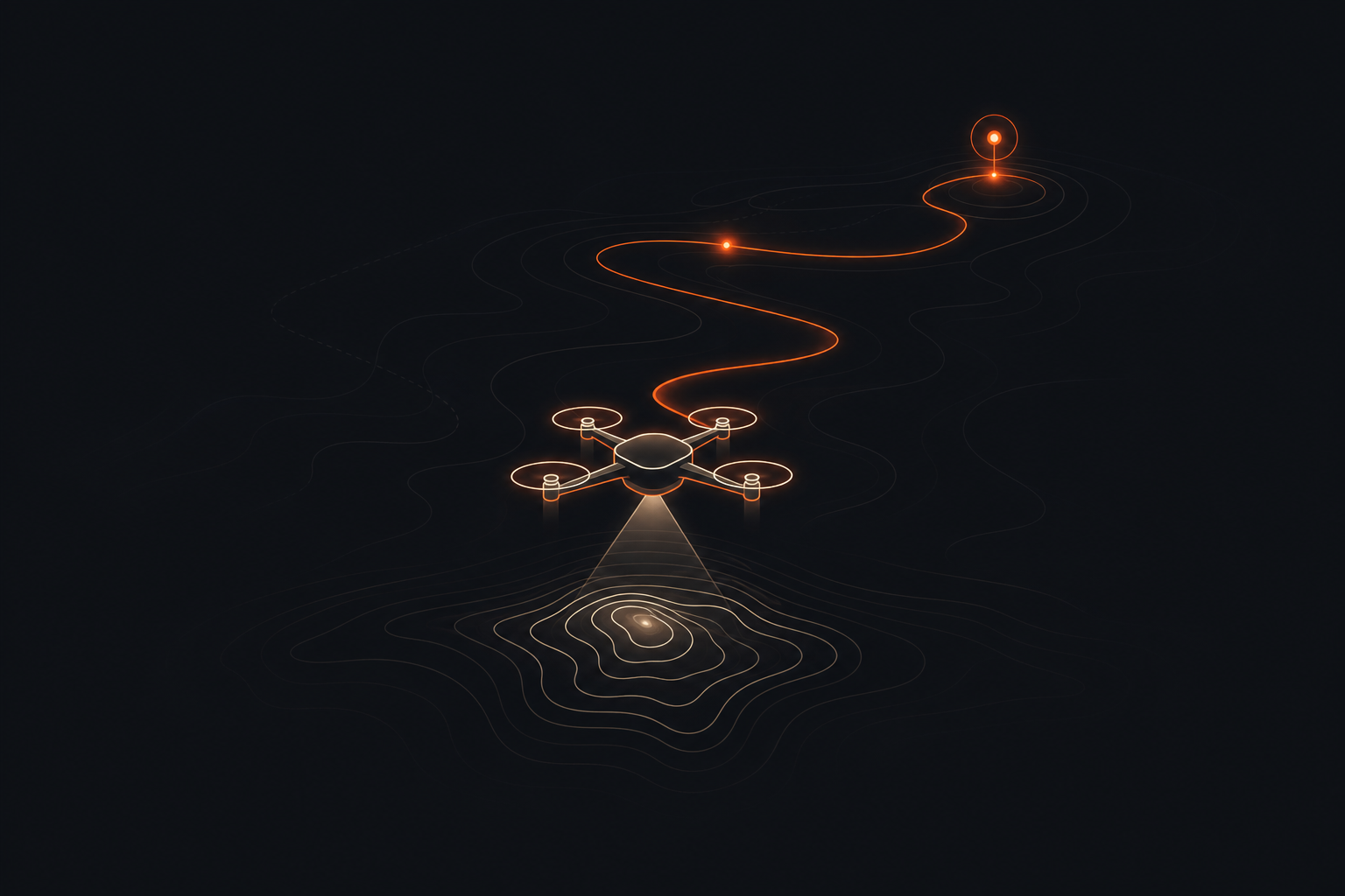
A drone finds its way by combining GPS, motion sensors, cameras, and onboard software to estimate where it is and adjust its flight.
Featured in the Monday, September 21 edition →
It’s often said that GPS alone flies the drone — in fact GPS mainly helps locate it, while other sensors keep it balanced, measure movement, and detect obstacles.
The drone’s flight controller runs this decision-making loop, while navigation satellites, mapping systems, and the drone maker’s software provide the information it uses. In more advanced systems, cameras and artificial-intelligence software do more of the work when satellite signals are weak.
It is like a tiny robot carrying a map, a balance toy, and eyes: it checks all three to decide whether to move forward, turn, or hover.
Understanding this helps whenever people debate delivery drones, automated vehicles, privacy, or whether a machine can safely operate without constant human control.
Imagine a drone told to fly to a marked spot in a field. GPS gives it an approximate location, its motion sensors notice that wind is tilting it, and the flight controller speeds up or slows down individual motors to correct the tilt; if its camera sees a tree in the planned path, the software can stop, turn, or choose another route.
Sensors cross-check each other
Because every sensor has weaknesses, the flight controller compares their readings to catch drift, brief signal loss, or bad measurements.
Motors make constant corrections
The drone does not simply point toward a destination once, but repeatedly changes motor speeds many times a second to stay level and follow its planned direction.
Routes can be preplanned or learned
Some drones follow stored waypoints, while others build a local picture from cameras or scanning sensors and respond to objects they encounter.